Google Street View now has every one of South Africa's national parks available to explore virtually online.
Potential visitors to the country, South Africans abroad, or anyone interested, will now be able to experience the country's scenery in 360-degree imagery without having to travel there.
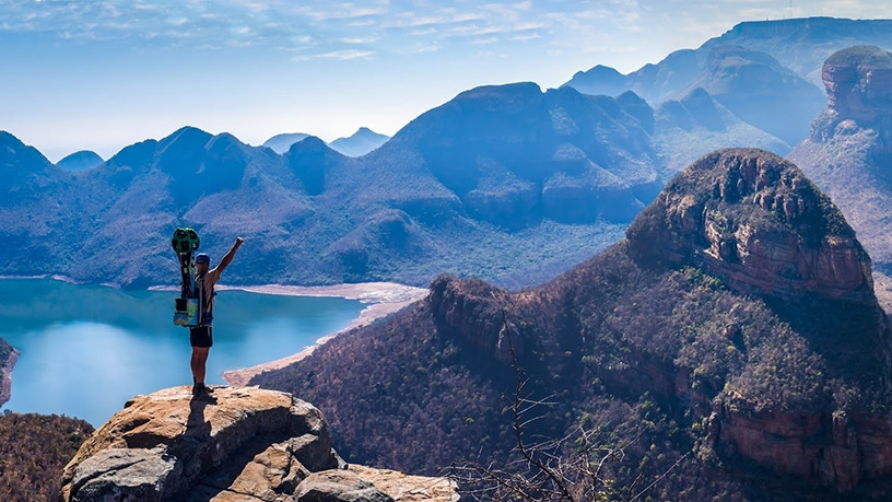
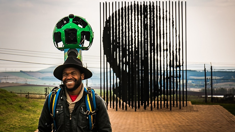
In 2012, Google started capturing images of places that cars could not reach, via the Street View Trekker, a wearable backpack with a camera system on top. It includes 15 cameras that each point in a different direction and a photo is taken on each camera in unison every 2.5 seconds as the operator walks. The battery on the system can last around six to eight hours.
The search engine giant started by mapping out a few key areas around the world, including Table Mountain and Robben Island, before opening up the process to companies and individuals around the world to map out the lesser known places.
Travel company Drive South Africa, a division of Discover Africa Group, was one of the first partners in the Google Street View camera loan programme in SA and took on the ambitious project of mapping the wildest areas of the country.
Andre Van Kets, co-founder and marketing director of Discover Africa Group, says over the 12 past months, 206 volunteers have trekked 50 000km across all nine provinces, along 170 trails, visiting 19 national parks and 17 other nature reserves and tourist attractions.
He says they have collected 35 terabytes of footage and taken over 250 000 individual photographs.
"The Trekker camera is a 22kg custom-made backpack fitted with 15 cameras pointing in all directions. The on-board technology plots the camera's exact location on the trail. While recording, the camera takes a 360-degree photo every two-seconds. It's basically the off-road equivalent of Google's Street View cars," says Van Kets.
"For the first time, travellers and wildlife lovers from across the globe can explore the full spectrum of South Africa's diverse wilderness areas on Google Maps and Street View."
To showcase the launch of South Africa's new Street View imagery, Drive South Africa has launched a microsite that gives would-be travellers a virtual experience of South Africa.
South Africa in 360 is an immersive showcase of South Africa's four top tourist destinations: the Kruger National Park, the Garden Route, Table Mountain and the Drakensberg. There are also lesser known places like the Wild Coast in the Eastern Cape.
"The site is a culmination of Street View imagery with video, photos and stories from the trail, offering viewers unique perspectives," says Van Kets.
Share